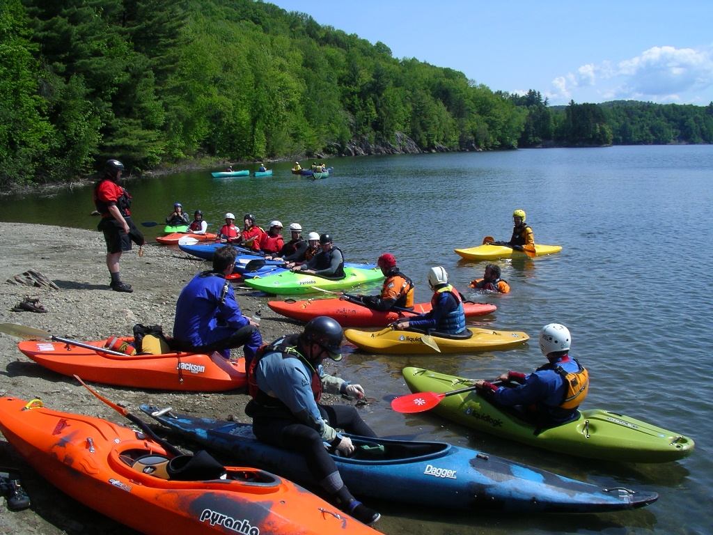
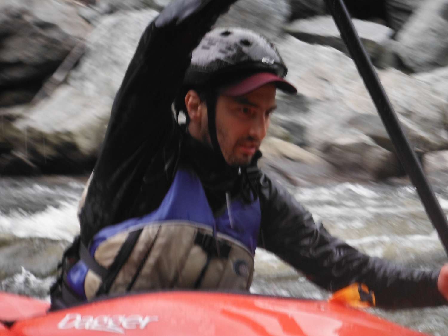
This was a pleasant outing with a stout tailwind the whole way northbound from Westford to the VT 128 bridge near Fairfax. I have run this section of the Browns at much lower levels than it was today. I paddled the canoe for the first time in several months, and had a good time doing so.
Browns River
- Details
- Written by Tony Shaw
- Category: Trip Reports
- Hits: 22194
- Organizer(s): John and Chris
- Date: 2019-11-12
- Kayakers (K1): John Atherton, Chris Weed
- Canoers (OC1): Tony Shaw
- Predominantly: Nov-int WW
- Water Level: Low boatable
- Wind and Waves: nice tailwind out of the south
- Painted Gauge Location: Bridge abutment across from the put-in, Westford VT
- Painted Gauge Height (ft) e.g. '3.3': at least 6" below the footing
- Estimated Flow (cfs), e.g. '600': ~250
- Primary Realtime USGS Gauge Site: USGS 04292500 LAMOILLE RIVER AT EAST GEORGIA, VT
- Primary Realtime USGS Gauge Flow (cfs), e.g. '797': 1260
- Primary Realtime USGS Gauge Height (ft), e.g. '2.96': 4.3
- Primary Realtime USGS Gauge URL: https://waterdata.usgs.gov/vt/nwis/uv?cb_00060=on&cb_00065=on&format=gif_default&site_no=04292500&period=&begin_date=2019-11-11&end_date=2019-11-13
| Mo | Tu | We | Th | Fr | Sa | Su |
|---|---|---|---|---|---|---|
| 1 | ||||||
| 2 | 3 | 4 | 5 | 6 | 7 | 8 |
| 9 | 10 | 11 | 12 | 13 | 14 | 15 |
| 16 | 17 | 18 | 19 | 20 | 21 | 22 |
| 23 | 24 | 25 | 26 | 27 | 28 | 29 |
| 30 | 31 |
| Mo | Tu | We | Th | Fr | Sa | Su |
|---|---|---|---|---|---|---|
| 1 | 2 | 3 | 4 | |||
| 5 | 6 | 7 | 8 | 9 | 10 | 11 |
| 12 | 13 | 14 | 15 | 16 | 17 | 18 |
| 19 | 20 | 21 | 22 | 23 | 24 | 25 |
| 26 | 27 | 28 | 29 | 30 | 31 |
| Mo | Tu | We | Th | Fr | Sa | Su |
|---|---|---|---|---|---|---|
| 1 | ||||||
| 2 | 3 | 4 | 5 | 6 | 7 | 8 |
| 9 | 10 | 11 | 12 | 13 | 14 | 15 |
| 16 | 17 | 18 | 19 | 20 | 21 | 22 |
| 23 | 24 | 25 | 26 | 27 | 28 |


